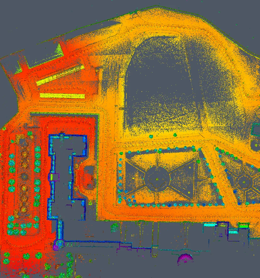
We provide the highest accuracy and precision using our latest technologies and surveying techniques.
Our teams provide fast, reliable results using the latest surveying equipment, starting from field survey through to exporting files, drawings and maps — with full interoperability between the point cloud, the BIM model and GIS.